Yellowstone Geography
The Lay of the Land
Geographic Overview
Yellowstone's Natural Features
Entrances
Gateway Towns and Villages
Roads, Trails and Boardwalks
Geographic Overview of Yellowstone
Yellowstone is located in northwest Wyoming; well, 96% of it is anyways. The northern border and part of the western border are in Montana (3% of the park) and a 1% sliver of the park along its western edge is in Idaho. Yellowstone's borders were drawn to include the park's unique features and were drawn before any of the states it lays in had official borders.
The border's were drawn to encapsulate the Yellowstone Super Volcano's caldera as well as other unique and important natural features like lakes, rivers and mountain ranges. The park is about 2.2 million acres in size; 2,221,766 acres or 3,472 square miles to be exact. The borders are about 63 miles apart north to south and 54 miles apart east to west - large than Delaware and Rhode island combined.
Yellowstone lays at the southern end of the Northern Rockies. Most of the action in Yellowstone (many of the main attractions) sit right around 8,000' in elevation - enough for those coming from low elevation to feel the altitude. The park's elevation ranges from 11,358' at Eagle peak in the Absaroka Mountains to 5,282' at Reese Creek in the NW corner of the park near Gardiner. This elevation range creates multiple ecosystem types within the park's borders, allowing for a staggering amount of biodiversity compared to the wildernesses hundreds of miles in any direction.
Within Yellowstone, geographic features such as grassy valleys, alpine peaks, dramatic canyons, alpine plateaus, massive cold lakes, dense forests, and extraordinary hydrothermal basins cover the landscape.
The GYE - Greater Yellowstone Ecosystem
What makes Yellowstone special isn't just the fact that it has waterfalls, geysers and bison. Yellowstone National Park is the centerpiece of the Greater Yellowstone Ecosystem, aka the GYE, which is widely considered one of the largest and most intact ecosystems of it's type left on the planet.
The GYE is somewhere around 12-22 million acres in size (an "ecosystem" is notoriously hard to give borders to) and is composed of Yellowstone and Grand Teton Nationals Parks, 3 national wildlife refuges, 5 national forest, Bureau of Land management (BLM) lands, states lands, tribal lands and private land. The successful management and perpetuity of this ecosystem is a massive undertaking and many people through multiple generations have dedicated their lives to it.
Geography Facts
- 3,472 square miles (8,991 km2) 2,221,766 acres or 899,116 hectares.
- Note: No area figures have been scientifically verified. Efforts to confirm the park’s total area continue.
- 63 air miles north to south (102 km)
- 54 air miles east to west (87 km)
- Spans 3 states
- 96% in Wyoming, 3% in Montana, 1% in Idaho
- Highest Point: 11,358 feet (3,462 m; Eagle Peak)
- Lowest Point: 5,282 feet (1,610 m; Reese Creek)
- Average Elevation: ~8,000' on super volcano plateau
- About 5% covered by water; 15% by grassland; and 80% by forests
- Yellowstone Lake
- Elevation: 7,732'
- 131.7 square miles of surface area (341.1 km2)
- 141 miles of shoreline (227 km)
- 20 miles north to south (32 km)
- 14 miles east to west (22 km)
- Average depth: 138 feet (42 m)
- Maximum depth: 430 feet (131 m
Yellowstone Infrastructure
- FACILITIES
- 11 visitor centers, museums, and contact stations
- 9 hotels/lodges (2,000+ hotel rooms/cabins)
- 6 NPS-operated campgrounds (300+ sites)
- 5 concession-operated campgrounds (1,700+ sites)
- More than 1,450 buildings
- 52 picnic areas
- 1 marina
- ROADS AND TRAILS
- 5 park entrances
- 457 miles (735 km) of roads (392 miles [630 km] paved)
- More than 15 miles (24 km) of boardwalk, including 13 self-guiding trails
- Approximately 1,100 miles (1,770 km) of backcountry trails
- 92 trailheads
- 299 backcountry campsites

Mountains, Ranges and Plateaus in Yellowstone
While Yellowstone is the centerpiece of the GYE, the centerpiece of Yellowstone could be considered the Yellowstone Super Volcano's caldera. A volcanic caldera is the top of the volcano where the molten rock is erupted to earth's surface.
The super volcano caldera in Yellowstone is one of the largest on the planet - its about 45 miles by 30 miles - and is located in a sea of mountain ranges within the Rocky Mountains.
Ranges and Mountains in and around Yellowstone
- The Gallatin Range
- The Absaroka Range
- The Washburn Range
- The Red Mountains
- The Beartooth Mountains
- The Teton Range
- Specimen Ridge
- Bunsen Peak
- Mount Haynes
Plateaus in Yellowstone
- Blacktail Plateau
- Buffalo Plateau
- Mirror Plateau
- Solfatara Plateau
- Central Plateau
- Madison Plateau
- Pitchstone Plateau
- Two Ocean Plateau
Valleys, Rivers and Lakes in Yellowstone
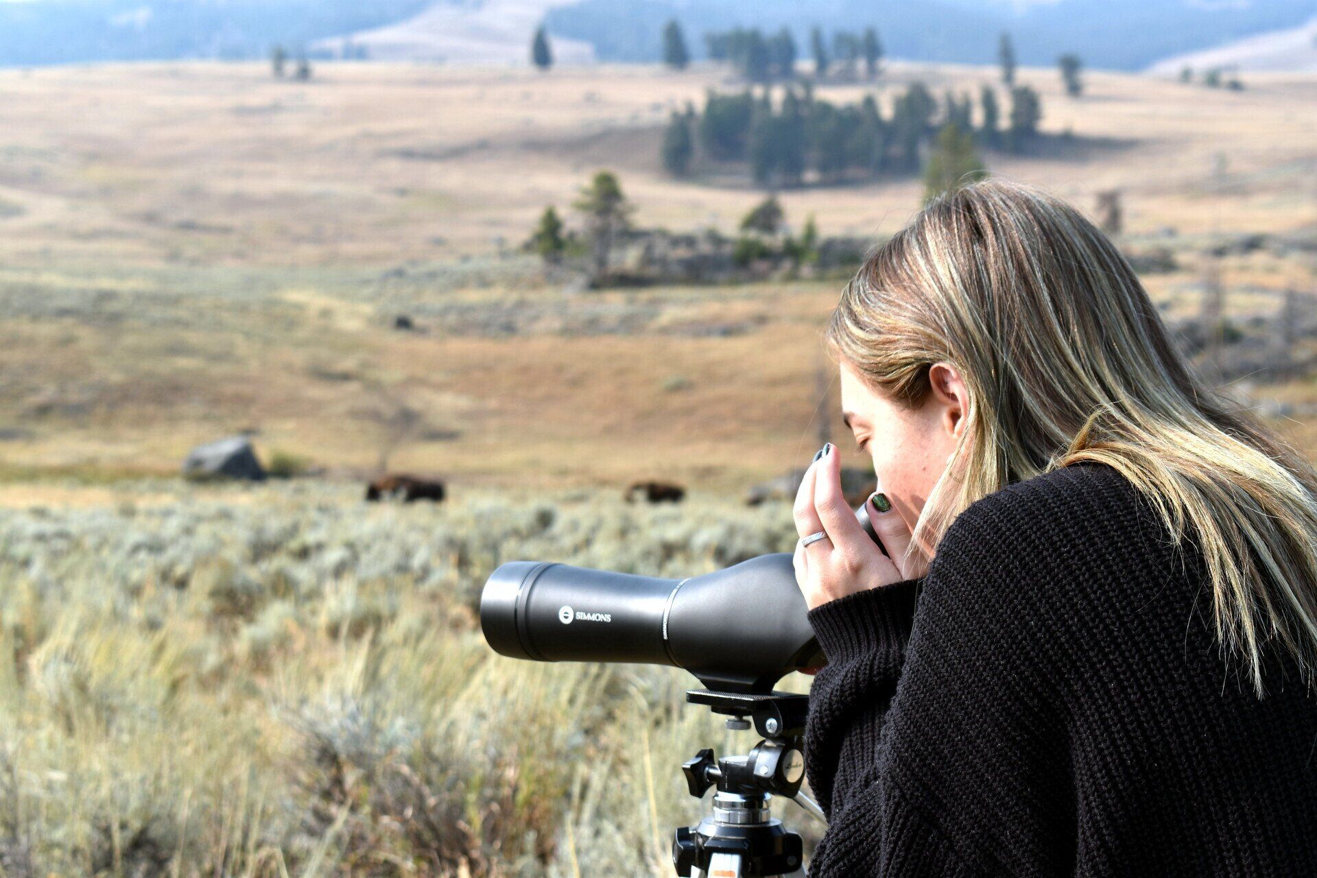
Valleys and Canyons in and around Yellowstone
- Lamar Valley
- Hayden Valley
- Pelican Valley
- Madison Valley
- Gardiners Hole
- Slough Creek Valley
- Yellowstone Thorofare
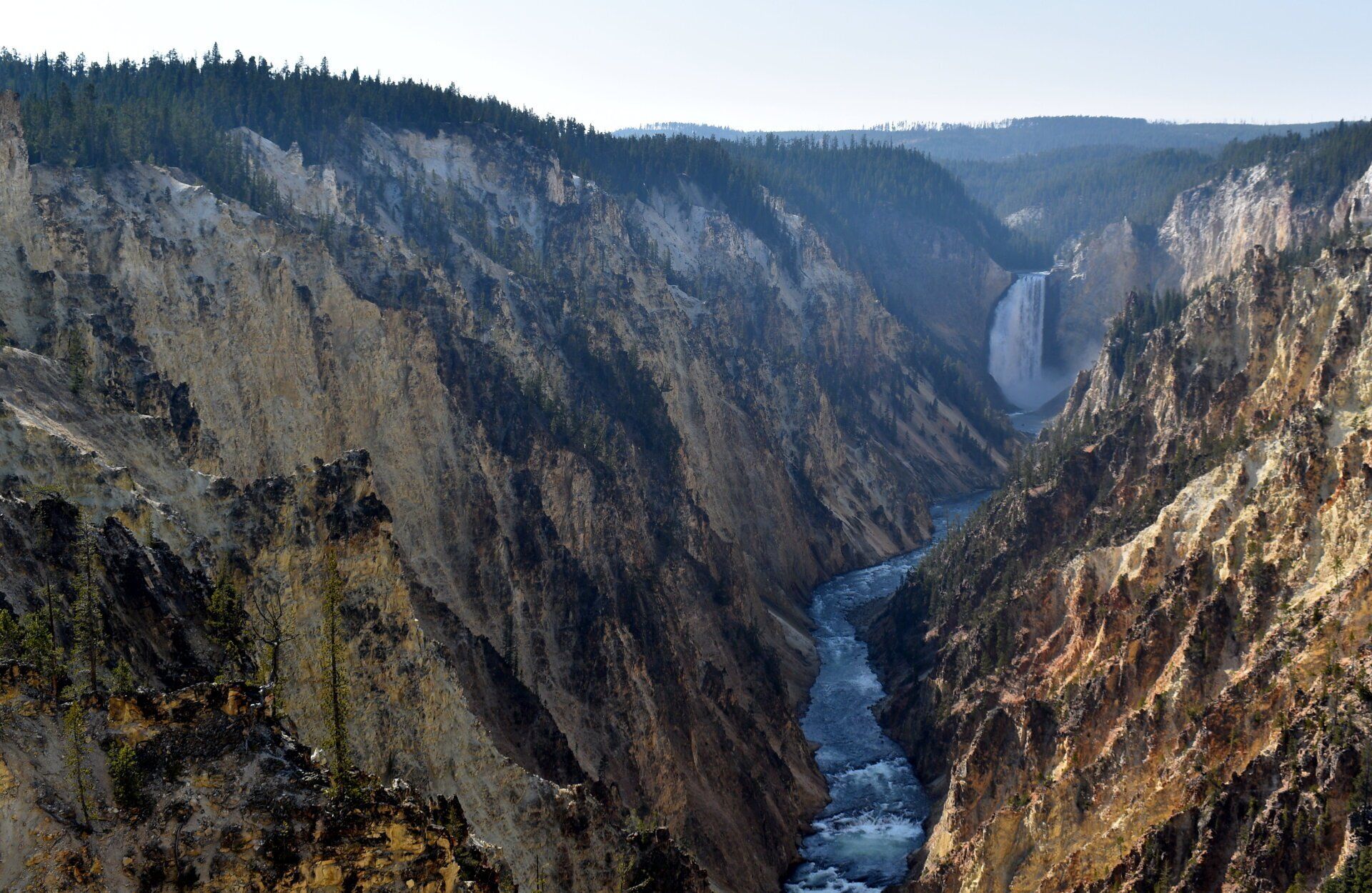
- Grand Canyon of The Yellowstone
- Black Canyon of the Yellowstone
- Firehole Canyon
- Gardiner Canyon
- Bechler River Canyon
- Falls River Basin
- Gallatin Canyon
- Yankee Jim Canyon
- Beartrap Canyon
-
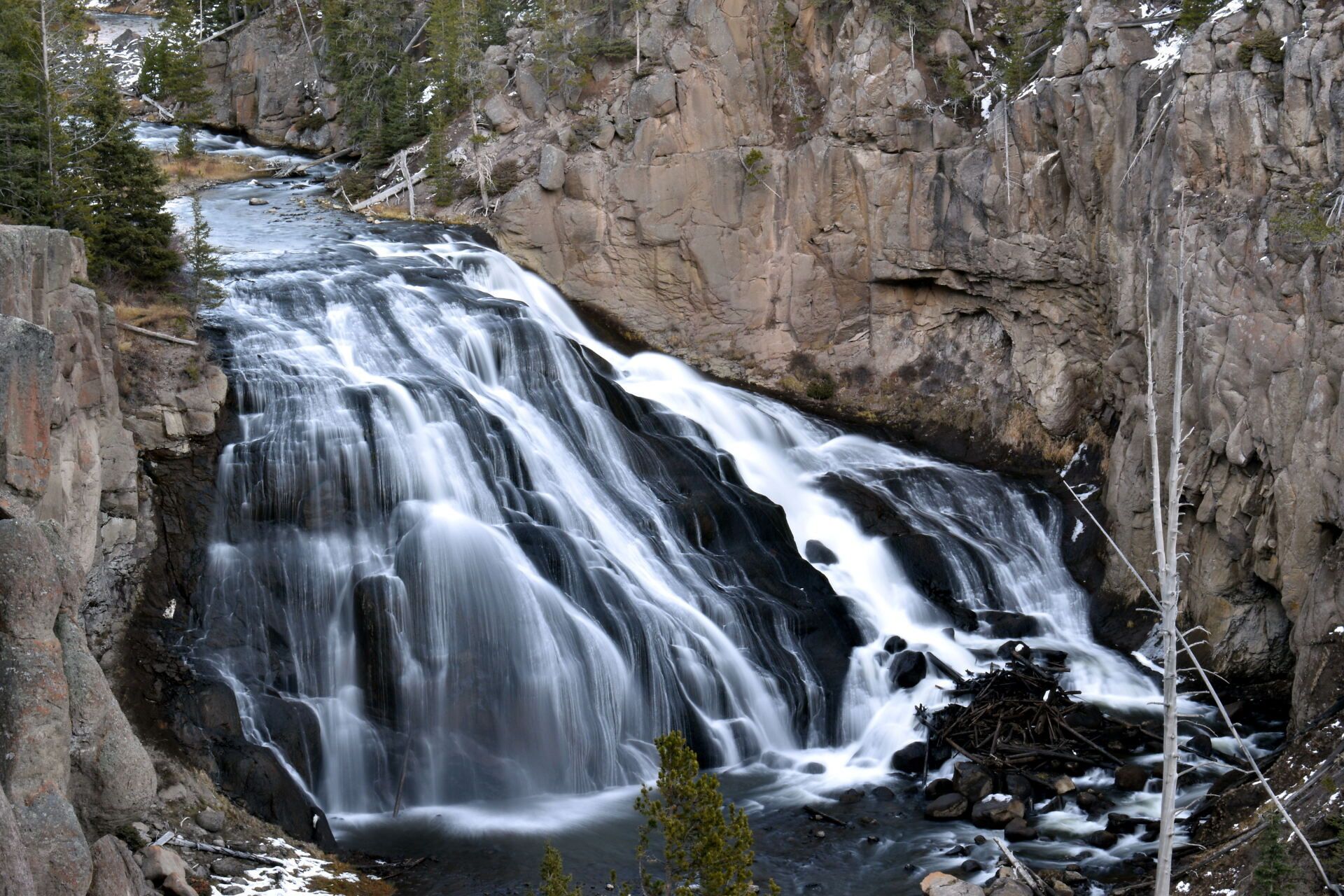
Notable Rivers and Streams of Yellowstone
- Yellowstone River
- Madison River
- Snake River
- Lamar River
- Snake River
- Gibbon River
- Firehole River
- Gardner River
- Slough Creek
- Soda Butte Creek
- Lewis River
- Bechler River
- Falls River
- Hellroaring Creek
Lakes of Yellowstone
- Yellowstone Lake
- Shoshone Lake
- Lewis Lake
- Heart Lake
- Hebgan Lake
- Quake Lake
- Jackson Lake
- Leigh Lake
- Jenny Lake
- Henry's Lake
- Ennis Lake
- Grizzly Lake
- Trout Lake
-
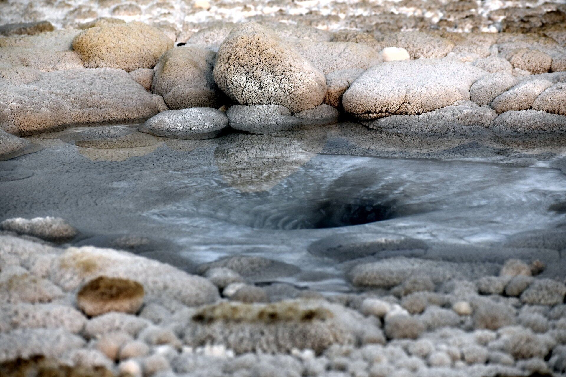
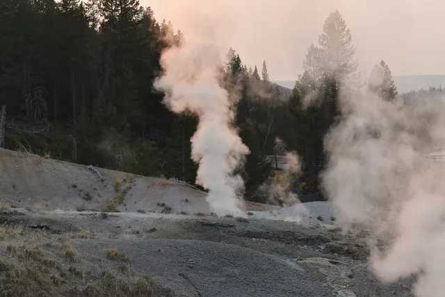
Hydrothermal Areas in Yellowstone
Hydrothermal Areas , Springs and Geysers in Yellowstone
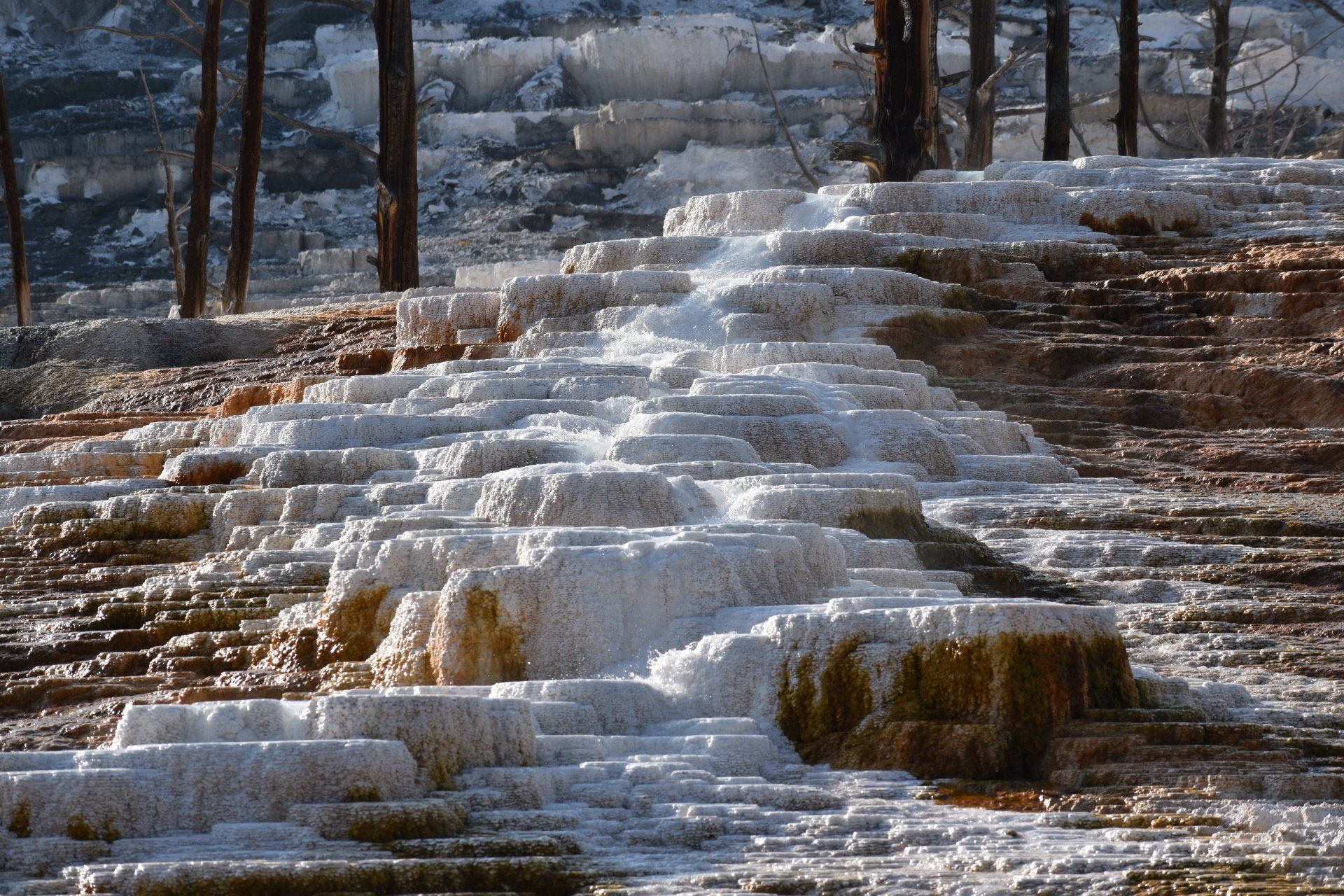
- Mammoth Hot Springs
- Canary Spring, Jupiter Terrace, Palette Spring
- Roaring Mountain
- Frying Pan Spring
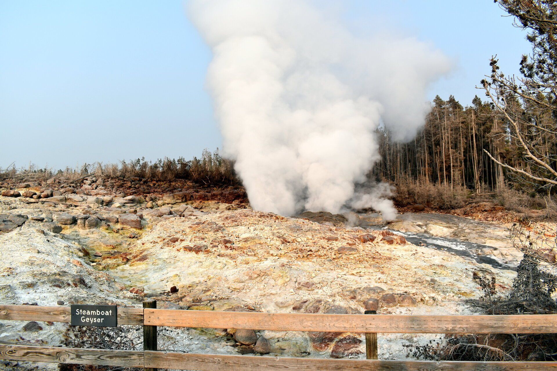
- Norris Geyser Basin
- Steamboat Geyser, Emerald Pool, Sistern Springs, Vixen Geyser, Minute Geyser, Porcelin Basin, Whirligig Geyser
- Artist's Paintpots
- Monument Geyser Basin
- Beryl Spring
- Mud Volcano
- Mud Volcano, Dragon's Mouth spring, Black Dragon Cauldron, Sulphur Caldron
- Lower Geyser Basin
- Fountain Paint Pots
- Celestine pool, Silex spring, Fountain Paint Pots, Red Spouter, Fountain Geyser, Jet Geyser, Spasm Geyser and Clepsydra Geyser
- Firehole Lake Drive
- Firehole Spring, Great Fountain Geyser, more
- Sentinel and Imperial Flats
- Imperial Geyser, Queens Laundry
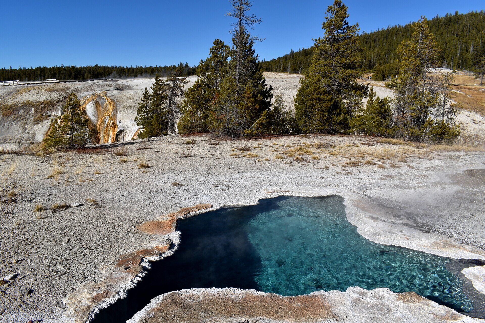
- Midway Geyser Basin
- & Grand Prismatic Spring, Excelsior Geyser, Turquoise Pool
- Biscuit Basin
- Sapphire Pool, Black Opal Pool
- Black Sand Geyser Basin
- Cliff Geyser, Emerald Pool, Sunset Lake
- Upper Geyser Basin & Old Faithful
- Old Faithful, Blue Star Spring, Beehive Geyser, Castle Geyser, Grand geyser, Solitary Geyser, Chromati pool, Daisy Geyser, Grotto Geyser, Riverside Geyser, Morning Glory Pool, Artemisia Geyser
- West Thumb Geyser Basin
- Bluebell Pool, Fishing Cone, Black Pool, Abyss Pool
- Backcountry Geyser Basins
Entrances, Villages and Roads
This is paragraph text. Click it or hit the Manage Text button to change the font, color, size, format, and more. To set up site-wide paragraph and title styles, go to Site Theme.